hobby #169
Ground Penetrating Radar
Electromagnetic subsurface imaging using radio-frequency pulses (50-900 MHz) to map buried structures, utility lines, geological boundaries, and archaeological features. Antenna design, signal processing, dielectric velocity calculation, and time-of-flight interpretation reveal what lies beneath without digging.
 Jun 20 4:04 AM #169 6 min
 Zero Point Three Two Until the Aluminum Said Otherwise
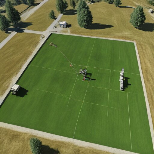
Ground Penetrating RadarThe radar said 0.32 metres. The aluminum plate I buried said 0.40. One of them was lying, and it wasn't the metal.
code-a-day tied to this hobby
- Convolution: What the Radar Actually Hears Discrete Convolution